I know it’s a ‘School Atlas’ but this is the baby you want on your shelf as your child moves on into secondary school.
I LOVE an Atlas – who doesn’t? In fact, I’ve written about my love of a big Atlas as a child before.
But this one is no picture atlas to capture a small mind.
This is the big sister to a picture atlas – and it means business.
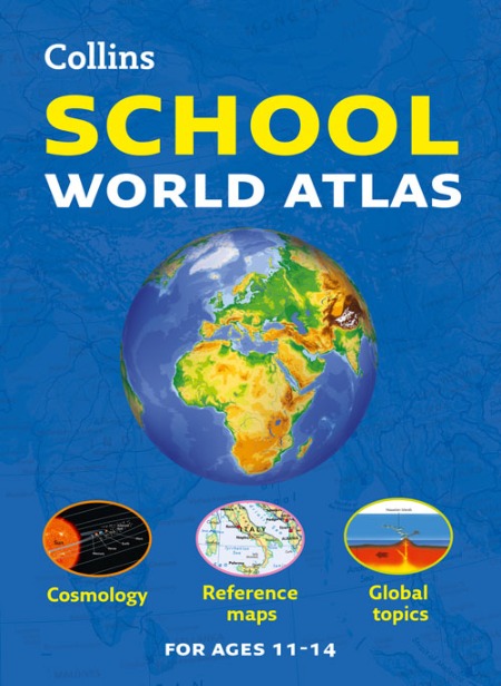
Recently revised and extended, it features 96 pages of clear, easy to read maps, satellite images (where the heck were THEY in my childish imaginings of where the jungles were?), an atlas skills section and hundreds of statistics.

It’s aimed at students aged 11-14, and designed to help develop map, atlas and data handling skills. There’s an easy to follow introductory ‘map and atlas skills’ section (useful for parents too), which is followed by clear, easy to read reference maps presented with locator maps, fact boxes and flags, descriptive text, detailed map keys and photos.
It uses the latest available country-by-country statistics, listed in a separate section, and the index includes full latitude and longitude values. More useful (though possibly less interesting to your average 12yr old) is the extended world section which covers all the global issues required by the National Curriculum e.g. climate, population, biomes, earthquakes and volcanoes.
The Collins School Atlas – Collins School World Atlas [New edition] can be purchased direct from Collins, and at under £9 is a steal of a reference book to have on your shelf.

